On Cora Martin’s computer screen, a geospatial map of Ukraine looks like a jigsaw of blocks and angles.
But for the second-year data science graduate student, each shape has a meaning. Each polygon represents a bombed-out building in Kiev or Kherson and each cluster of points is a barrage of artillery fire.
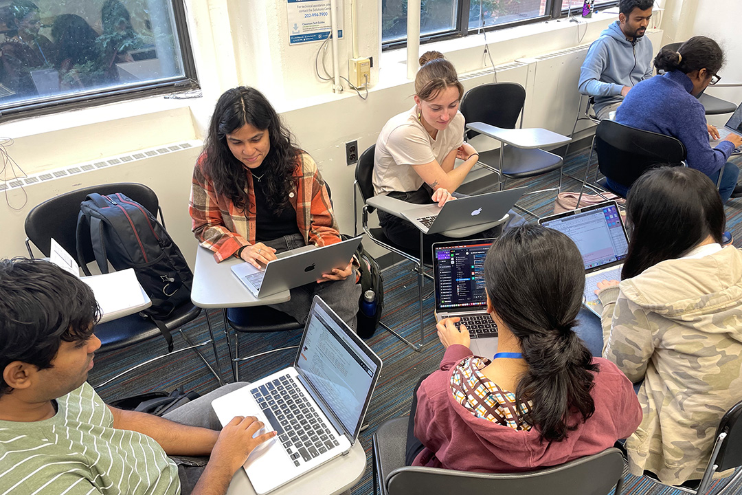
It’s Martin’s job, along with her team of fellow data science graduate and undergraduate students in the GW Data Science for Sustainable Development Hub, a chapter of the 501(c)3 nonprofit Data Science for Sustainable Development (DSSD), to translate each shape into action.
The 23-member student-run group lends its expertise—from GIS and software engineering to making sense of massive datasets—to sustainable development organizations with technical capacity gaps. For the last year, they’ve worked with a nonprofit addressing structural damage in Ukrainian cities. The students are creating a model that will help assess window damage and pinpoint homes that need repairs as the harsh winter sets in.
“You can look at it as simply dots on a map, but our team knows how serious each of these shapes and lines really are,” Martin said.
Since Martin founded the GW chapter two years ago, DSSD has aided nonprofits, government agencies and other interest groups, leading projects for organizations from Haiti to Japan. They’ve worked with a foundation that provides pro-bono solar installation across Wisconsin and an international nonprofit that engages in conflict resolution around the world. “I’ve always been driven to create meaningful impacts, and the group’s shared vision resonated with me,” said Anjali Mudgal, a second-year data science graduate student and head of software engineering for the Ukraine project. “The team’s dedication to utilizing their skill sets for a greater good was inspiring.”
DSSD also partnered with Sustainable GW to study the impact of the Yellowknife wildfire in Canada. The students’ “research was extremely valuable,” said Professor of Sustainability and International Affairs Robert W. Orttung. “We are definitely grateful for their support and look forward to further collaboration to better understand the data that we collect.”
In addition to showing data science students “the impactful work they can do by volunteering their time, their energy and their brains,” Martin said, the group’s projects offer hands-on experience in a bourgeoning career field.
Ryan Engstrom, professor of geography and the director of the Data Science Program at the Columbian College of Arts and Sciences, noted the sharp demand for data science expertise across areas like analytics, consulting, stock market forecasting and capturing GIS locations for disaster relief. The program increasingly attracts students across disciplines like political science, economics, geography and public affairs, he said, while connecting them with internships and careers at employers including Amazon, Booz Allen Hamilton, the National Institutes of Health and the World Bank. Indeed, the DSSD students, Engstrom said, are already honing their professional skills by learning to handle complicated data outside the classroom.
“Real data is messy. It can be incomplete, it can be hard to make sense of. It’s not easy to work with,” he said. “If you can take these huge datasets and turn them into something that a layperson can understand—that’s the whole idea behind data science.”
Geomapping Ukraine
For the Ukraine project, the DSSD team is working with the international nonprofit Insulate Ukraine to address a rapidly worsening crisis. With an estimated 10 million windows destroyed since the start of the war, many Ukrainians are facing soaring energy prices and sub-zero winter temperatures as families fit plywood and plastic to their window panes and sleep in bath tubs to keep warm.
Insulate Ukraine has developed an affordable, shatter-proof polyethene window that protects against the cold. The group is also training Ukrainians on the ground to install them. Meanwhile, DSSD’s role “is to find a way to figure out how many windows—throughout the entire country—are broken,” Martin said.
The first step, Martin said, was for the DSSD team to “divide and conquer” with each of six students taking on a different project task—such as GIS, software engineering and data science research.
Working both remotely and at on-campus get-togethers, they created three different maps: a geoboundary outline of Ukrainian districts; a spatial dataset of individual buildings; and estimates of war fire events based on an Economist database. The team then layered the maps on top of each other—forming a projection of buildings within 50 meters of each attack.
“We get data on the latitude and longitude of where a particular event happened and fit it over the polygon of the building—and do very difficult mathematical calculations,” explained Abhishek Chiffon, a first-year data science graduate student. “It’s much harder than it sounds. We want to go faster because we know, with winter here, we’re racing the clock. But we have to be very careful. We have to remember this is real data and we are affecting real people.”
Already the team has mapped more than 43,000 buildings and the project is continuing into the spring semester. “The work DSSD has done will help us to unlock the type of funding we need to actually solve this problem across the country,” said Insulate Ukraine founder Harry Blakiston Houston. “Without their work, it becomes almost impossible to estimate how big this problem is and where the problem is at its worst. With their work, those questions become much more clear.”
Indeed, the students said the project has opened their eyes to the impact they can have as data scientists. “This project exemplifies how data science can make a substantial difference,” Mudgal said. “It perfectly embodies the kind of real-world application I envisioned when I chose this field.”


